This page contains electronic copies of some of the documents and publications that outline the history of the state highway system and the Department of Transportation. Hard copies of most of these items, as well as other historic resources, are available through the
ODOT Library.
Biennial Reports
Biennial reports chronicled the work of the agency during a given biennium. Early reports were very detailed, often discussing individual projects and work being done by county. They also showed the evolution of the agency, and the decisions and legislation that brought changes about. These reports are available in hard-copy format from the ODOT Library, but a few have been digitized, including the first, published in 1914 as an annual report. Some of the links below open to State Library of Oregon records which allow a PDF to be downloaded.
First annual report of the Highway Engineer, for the period ending November 30,1914
Second Annual Report of the Engineer of the Oregon State Highway Commission for the Year Ending November 30, 1915
Annual Report, State Highway Engineer to the Oregon State Highway Commission for the Year Ending November 30, 1917
Third Biennial Report of the Oregon State Highway Commission, Covering the Period December 1st, 1916 to November 30th, 1918
Fourth Biennial Report of the Oregon State Highway Commission, Covering the Period December 1, 1918 to November 30, 1920
Fifth Biennial Report Of the Oregon State Highway Commission Covering the period December 1, 1920, to November 30, 1922
Other biennial reports have been digitized by Internet Archive as part of an FHWA pooled fund projects. They can be viewed here.
************
Casual and Factual Glimpses at the Beginning and Development of Oregon's Roads and Highways
This folksy account of the history of the state highway system was written in the 1950s by Ralph Watson, Public Relations Consultant for the Highway Department.
************
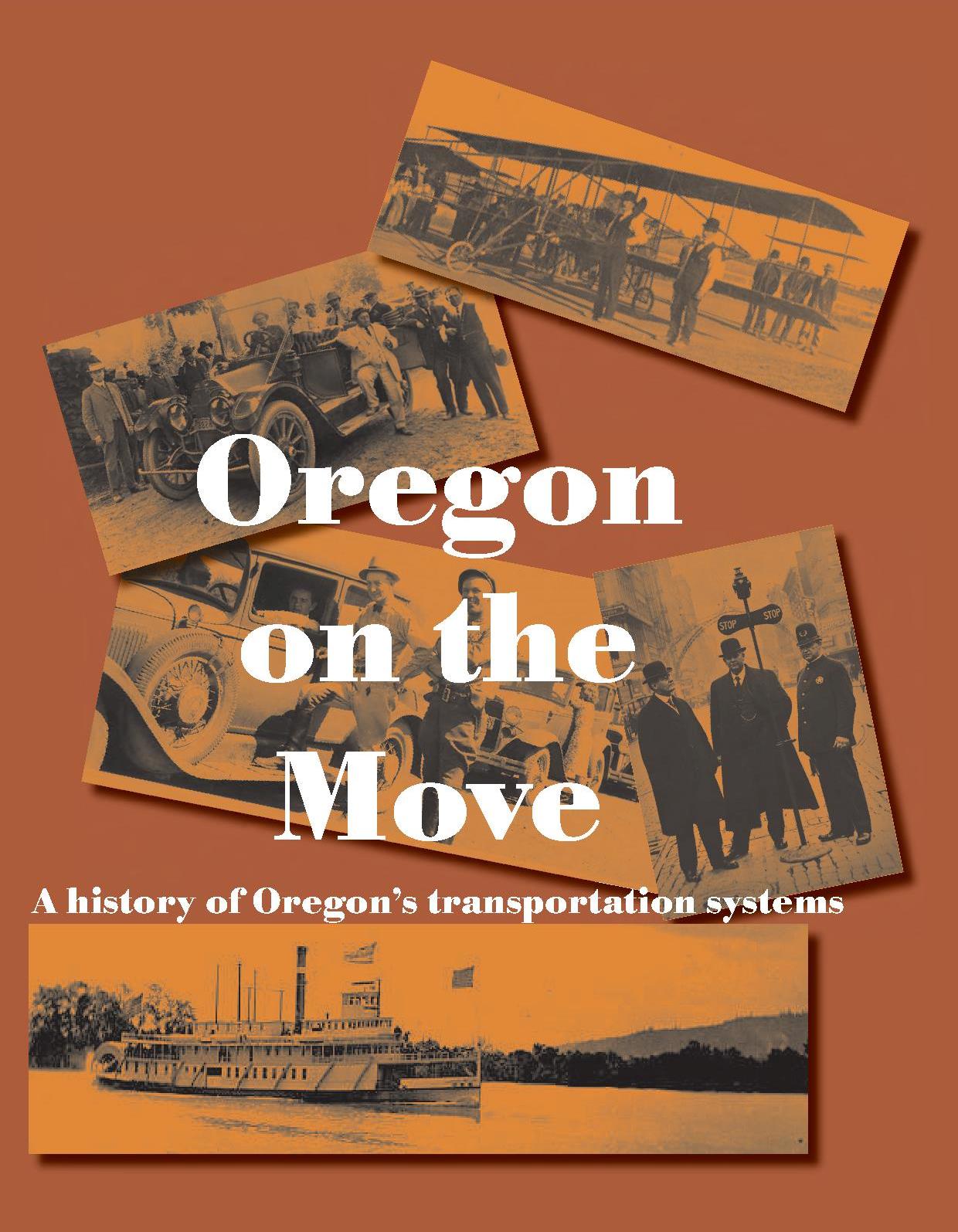
Oregon On the Move: A History of Oregon's Transportation Systems
The ODOT History Committee published this chronological listing of major developments in the agency's history in 2009.
************
History of State Highways in Oregon
This electronic-only document is produced by the ODOT Right-of-Way Unit, and was last updated in January, 2017. It is a guide to the source materials for the background and history of individual state highways, including information from the right-of-way files, agreements and resolutions, Commission minutes, History Center files, and other resources. The document also offers electronic maps, including digitized versions of the county Market Road maps, and the Biennial Report maps.
************
The Interstate Highway System in Oregon
Published in 2004, this document offers an historic overview of Oregon's interstate highway system. It was prepared by historian George Kramer for the Oregon Department of Transportation.
************
Agency Newsletters
This collection includes the Via and Transcript newsletters published 1976-2003. Digitization was done by Internet Archives as part of a pooled fund study.
***********
State Highway Maps
The State Library of Oregon has made the collection of Oregon State Highway Maps digitized by the ODOT GIS Unit available to the public. Maps span from 1919-2003.
************
Podcasts
The Oregon Department of Transportation's Geo-Environmental Section has produced podcasts to share knowledge about Oregon's rich history and diverse environment.
Bridges and Ferries
Oregon's Historic Bridge Field Guide.
Produced in 2013 by members of ODOT's Bridge Preservation and Cultural Resources teams, this publication updates an earlier document produced by the agency in the 1980s: Historic Highway Bridges of Oregon.
"Spanning Oregon's Coast"
This Bridge Unit brochure shows the major bridges along Highway 101, many of which were designed by Conde McCullough, Oregon's master bridge builder.
Map Showing Location of Automobile Ferries in the State of Oregon: March 1, 1935
The five major coastal bridges forming the last links in the Oregon Coast Highway were dedicated in 1936. This 1935 map was created as the bridges were being constructed, and the state offered free ferry service across these expanses until the bridges opened to automobile traffic.