DOGAMI SPECIAL PAPER SERIES
Publication Preview

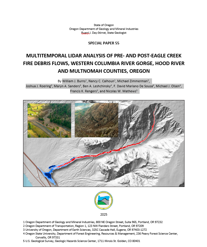 Special Paper 55, Multitemporal LIDAR Analysis of Pre- and Post-Eagle Creek Fire Debris Flows, Western Columbia River Gorge, Hood River and Multnomah Counties, Oregon, by William J. Burns, Nancy C. Calhoun, Michael Zimmerman, Joshua J. Roering, Maryn A. Sanders, Ben A. Leshchinsky, F. David Mariano De Sousa, Michael J. Olsen, Francis K. Rengers, and Nicolas W. Mathews.
WHAT’S IN THIS REPORT?
The
objective of this paper is to evaluate debris flows both prior to and post-2017
Eagle Creek Fire in the Columbia River Gorge, Multnomah and Hood River
Counties, Oregon. The paper also presents a method for evaluation of debris
flows using multitemporal light detection and ranging (lidar). The intended
audiences for this paper include those in government, industry, academia, and
the public who are interested in debris-flow hazards prefire and postfire in western
Oregon.
PUBLICATION DOWNLOADS
INTERACTIVE MAP PLATE
An interactive map plate showing difference rasters contrasting LIDAR-obtained elevation data from 2009 to 2018 in the western Columbia River Gorge can be viewed and explored at this link.

LOCATION MAP
Figure 2-1. Map of the study area and the 2017 Eagle Creek Fire perimeter.

RESEARCH PRESENTATION
View the hour-long presentation on this report presented at the USGS Landslide Hazards Seminar here.
GEOGRAPHIC INFORMATION SYSTEM (GIS) DATA
Geodatabase is Esri® version 10.7 format.
Metadata is embedded in the geodatabases and is also provided as separate .xml formatted files.
Each dataset listed below has an associated, standalone .xml file containing metadata in the Federal Geographic Data Committee Content Standard for Digital Geospatial Metadata format.
NWHoodRiver_LandslideInventory.gdb
|
| Feature Classes: |
Landslide inventory from 2009 to 2018
| Polygons
| .xml
|
Landslide inventory from 2018 to 2021
| Polygons
| .xml
|
Landslide inventory from 2021 to 2022
| Polygons
| .xml
|
Mapping area from 2009 to 2018
| Polygons
| .xml
|
Mapping area from 2018 to 2021
| Polygons
| .xml
|
Mapping area from 2021 to 2022
| Polygons
| .xml
|
Visual Depiction of the Case Study of the Fatal 2021 Leavens Creek Debris Flow: Detailed description of the gemorphic factors constraining the 2021 Leavens Creek debris flow and the resultant characteristics of the debris flow.
