+
−
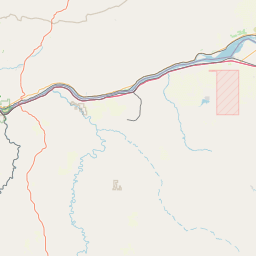
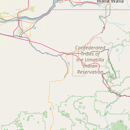
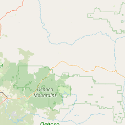
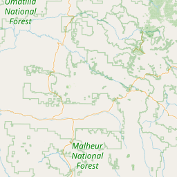
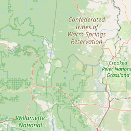
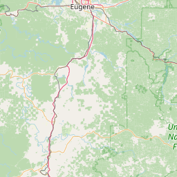
John Day River Basin QAPP Map
⊗
TMDL Project Scope (Visible with Zoom-In)
Heat Source Temperature Model Extent
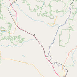
Model Calibration Sites (blue)
Model Temperature Boundary Conditions and Tributary Inputs (red)
Model Flow Boundary Conditions and Tributary Inputs (red)
Stream Temperature Stations (green)
Stream Flow Stations (orange)
Effective Shade Measurement Sites (gold)
Meteorological Stations (yellow)
Individual NPDES Point Sources (blue)
General NPDES Point Sources (GEN04) (grey)
HUC8
HUC10
HUC12
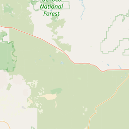
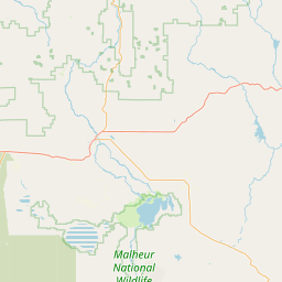
2022 303(d) Temperature Listed - Streams (Spawning Criteria)
2022 303(d) Temperature Listed - Streams (Year Round Criteria)
2022 303(d) Temperature Listed - Waterbodies (Year Round Criteria)
2022 303(d) Temperature Listed - Watershed (Spawning Criteria)
2022 303(d) Temperature Listed - Watershed (Year Round Criteria)
Fish Use Designations (Visible with Zoom-In)
Salmon and Steelhead Spawning Use Designations (Visible with Zoom-In)
Land Ownership or Jurisdiction (Visible with Zoom-In)
Stream Names (USGS NHD)
Oregon Imagery
Leaflet
| Powered by
Esri
| ©
OpenStreetMap
contributors, This data set was assembled by the Oregon Department of Environmental Quality, Water Quality Assessment Program.